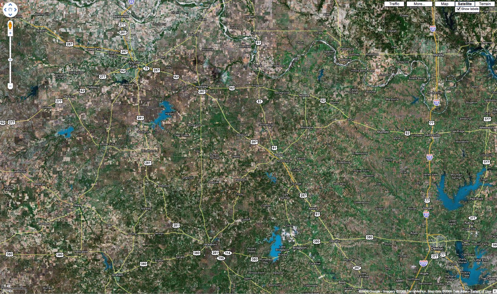
Subsequent Flights1. IMG_3410post ... 21. IMG_6635post 22. IMG_6637post 23. IMG_6640post 24. NorthwestTexas 25. NorthwestTe... 26. IMG_6643post 27. IMG_6645post ... 77. KDTO-KSRR-KDTO |

Photo Properties
|
Subsequent Flights1. IMG_3410post ... 21. IMG_6635post 22. IMG_6637post 23. IMG_6640post 24. NorthwestTexas 25. NorthwestTe... 26. IMG_6643post 27. IMG_6645post ... 77. KDTO-KSRR-KDTO |

Photo Properties
|